Navigating the Waters: The Critical Role of Hydrology in Civil Engineering Projects
Hydrology, the science of water distribution and movement in the Earth’s atmosphere and crust, is a fundamental aspect that civil engineers must grapple with in various projects. From managing water resources to designing infrastructures that can withstand the forces of water, hydrology is at the heart of sustainable and resilient civil engineering. This article delves into the significance of hydrology, methodologies, and presents a real-world example to highlight its practical application in civil engineering.
Unraveling the Science of Hydrology
Hydrology involves the study of water – its properties, distribution, and movement, and how it interacts with the environment. It encompasses surface water, groundwater, and atmospheric water phenomena.
In civil engineering, hydrology is crucial for water resource management, flood control, irrigation, and infrastructure design to ensure safety, sustainability, and economic efficiency.
Applications of Hydrology in Civil Engineering
Hydrology helps in assessing and managing water resources, ensuring adequate water supply for municipal, agricultural, and industrial uses.
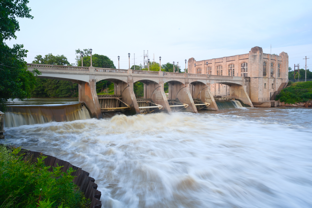
By understanding river flow and rainfall patterns, hydrology aids in designing dams, levees, and drainage systems to control and mitigate flooding.
Civil engineers rely on hydrological data for designing structures like bridges, culverts, and roads, considering factors such as water flow, erosion, and sediment transport.
Hydrological Analysis and Modeling
Collecting data on precipitation, streamflow, groundwater levels, and soil moisture is the foundation of hydrological analysis.
Models such as the Rational Method or Hydrologic Modeling System (HMS) are used to simulate water systems and predict how they respond to various conditions.
GIS is a powerful tool that allows civil engineers to analyze and visualize hydrological data spatially, facilitating better decision-making in projects.
Challenges and Considerations
As climate change alters precipitation patterns and water availability, civil engineers must incorporate climate-resilient strategies in hydrological planning.
Increased urbanization alters natural water flow patterns, and engineers must design urban drainage systems that can accommodate these changes without causing flooding or water pollution.
A Practical Example: The Three Gorges Dam, China
The Three Gorges Dam, the world’s largest hydroelectric power station, exemplifies hydrology’s role in civil engineering.
Built on the Yangtze River, the dam’s design required extensive hydrological studies to understand the river’s flow patterns, sediment transport, and flood behavior.
One of the dam’s primary functions is flood control. The reservoir’s capacity allows it to mitigate the impact of seasonal floods, protecting downstream areas.
The Three Gorges Dam project also had significant environmental and social implications. Its construction altered ecosystems and required the relocation of over a million people. This underscores the importance of comprehensive hydrological studies to understand and mitigate potential negative impacts.
Charting the Course
Hydrology is an indispensable facet of civil engineering. Understanding water systems is essential for managing water resources, mitigating flood risks, and designing sustainable infrastructure. The Three Gorges Dam stands as a monument to what hydrology can achieve within civil engineering.


